The New Via Salis in Altaussee A magical hike through Ausseerland
The golden days of autumn invite us to go hiking. So, why not pay a visit to the “Via Salis” in Altaussee? On this roughly 11 km long hiking path through Ausseerland, you are offered all kinds of information about mining and the history of Altaussee. Along the way, you will pass 21 info stations, as well as information boards at the different mine entrances. We became aware of this hike thanks to an interesting radio report on Freies Radio Salzkammergut.
Start of our hike
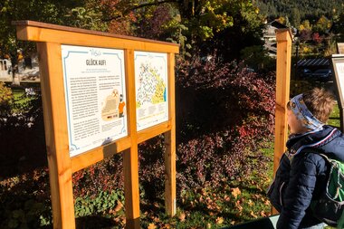
We set off from the Kurpark, right next to the village hall in Altaussee. This is also where you will find the information office of the Ausseerland tourist board [verlinken]. The friendly employees there provide us with a folder about the Via Salis along with an overview map.
You can find the precise route here!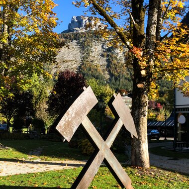
Impossible to overlook is the big “Hammer and Pick” sculpture in the Kurpark. Clear indication of the character of Altaussee as a mining town, home as it is to the biggest still-active salt mine in Austria. In total, here they produce over 2 million liters of brine annually, which subsequently flows through the pipeline to the saltworks in Ebensee. There, the brine from Altaussee is transformed into BAD ISCHLER salt. To be fair, it could also be known as ALTAUSSEER salt :).
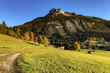
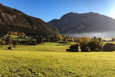
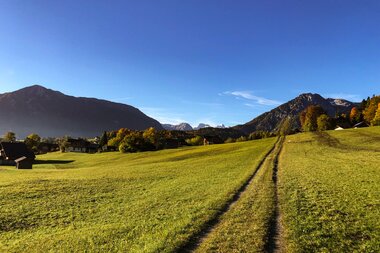
From the Kurpark, the path leads in the direction of the Loser, past the kindergarten, as far as the “Donisbrücke” bridge, continuing through a small community by the name of “Reith.” Between the farmhouses, we are constantly treated to beautiful views of Altaussee and the Loser.
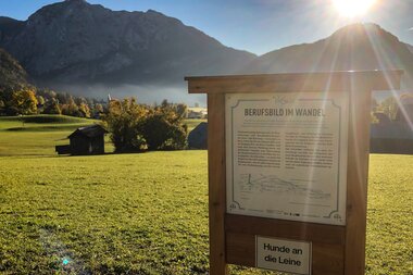
In autumn, the cows graze peacefully with their calves out on the meadows. An important note of caution at this point: Along the entire length of the Via Salis, dogs must be kept on a leash! Also a little later, in the forest, property owners and hunters would appreciate it if we would also bear that in mind.
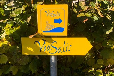
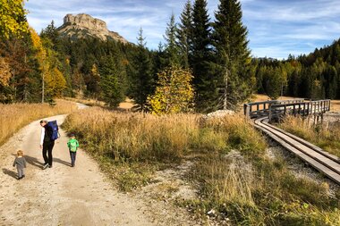
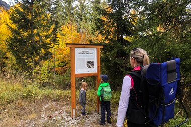
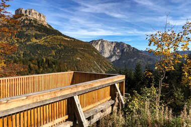
Our walk now continues up a steep forestry lane in the direction of the Pflindsberg. Even though the Pflindsburg ruins don’t lie directly on the path itself, we do make a short detour to the viewing platform and enjoy gazing out over Altausseer See. For this short side trip, you should plan an additional 20 minutes or so. Now, we follow the numerous yellow “Via Salis” signs, taking us via the forestry roads to a sign that says “Die Römer am Sandling.” This sign tells us that even the Romans are likely to have mined salt here, and that excavations were conducted close by. Numerous archaeological finds are on display in the Kammerhof Museum in Bad Aussee.
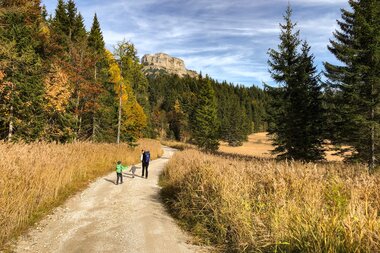
From here, a steep forest path once again takes us up to a forestry road, which we follow as far as the entrances to the Moosberg and Sandlingberg mines. These entrances are very utilitarian and understated. A little away from here is the Ahornbergstollen. Today, it can no longer be walked through, though this is in fact the oldest mine in Altaussee. Broad fields of reeds lie beautifully next to the path. It’s hard to imagine that this area was once used to grow all the food to feed the livestock. At the Moosbergstollen, we find on the info boards old photos from the 1920s where this is clearly recognizable.
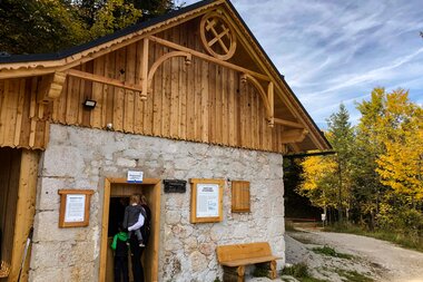
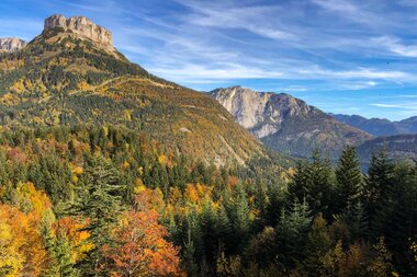
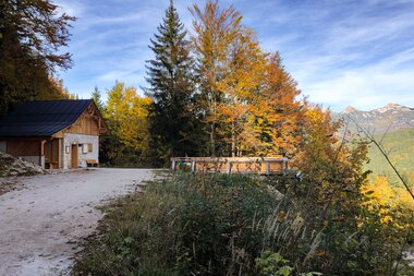
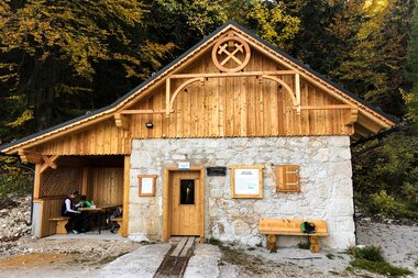
Things become really exciting at the Bräunerberg. Here, the entrance building was restored true to the original, with seating added. We take advantage of this opportunity to enjoy the snacks we brought with us at this, the highest point of the Via Salis. Here, we are treated to a breathtaking view of the dark black waters of Altausseer See and the Loser towering above. The autumn leaves of the trees are reflected in the lake, creating vivid splashes of color across the surface.
Reenergized, we make our way downhill to the Kriechbaumbergstollen. Here, too, the door provides a window to look through. The stone walls have been nicely smoothed out, while a board reveals the age of the mine: 1625!
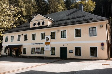
Our next stop is the “Steinbergareal”, home to Salzwelten Altaussee, the mine which is open to the public. We take advantage of the opportunity and participate in a guided tour. As experienced hikers, we brought extra T-shirts with us to change into. After all, we have climbed over 300 vertical meters since the start of our hike and, especially on some of those steeper passages, managed to work up a serious sweat!
Here you can go ahead and order your online ticket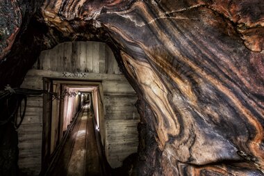
Let your Salzwelten Altaussee adventure begin
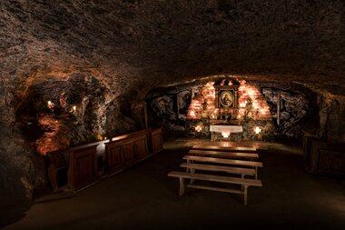
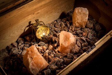
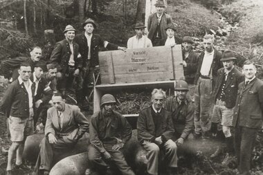
The guided tour of the “Mountain of Treasures”, as the Sandling is known, takes around 1 ½ hours. We are excited by the mine tunnels of reddish shimmering rock salt, adding to our knowledge about salt mining as well as the exciting story of how the miners here were able to save priceless art treasures from destruction by the Nazis during the Second World War!
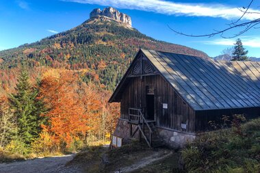
With our thoughts still very much distracted by the guided tour we had just taken, we almost overlook the fact that the Via Salis now branches off to the left, immediately after the Salzwelten, heading steeply downhill. Approximately 100 m to the right of the path lies the “Franzbergstollen”. We marvel at the old photo at the entrance, which shows visitors on a mine train emerging from the tunnel, a tunnel which is today rather overgrown. Our next stop is an old, yet still operating brine station. From this point, all of the brine from Altausseer is pumped along the pipelines through Bad Ischl to Ebensee.
We briefly follow the road until the “Wiesenweg” branches off to the right. This path leads us through picturesque countryside and past a deer feeding station back to the Kurpark in Altaussee. We are really enthusiastic about the hike we have just taken. The information is well presented and never boring. There isn’t enough room here to share all of the details. The landscape alone is captivatingly beautiful. However, let us take this opportunity to give you just a few tips:
-
Don’t forget snacks, drinks and a spare T-shirt to change into!
-
Allow yourself plenty of time, especially if you wish to visit the mine!
-
For the most part, the route is not suitable for prams! This is a real hike, so you will also need a certain degree of physical fitness!
-
A free Audio Guide App is available in German and English. In some cases, we would listen to the description of the next station while we were still on our way there.
-
There is also a separate bike route for E-bikes. The GPS data can be downloaded here . IMPORTANT! The Via Salis as described here is a hiking path, whereas the bike tour is separately signposted and follows a different route.
